When you can click on the interactive maps, you will find:
- Early Development Instrument (EDI) results,
- socio-economic data, and
- information on community resources
for communities and subcommunities across Alberta.
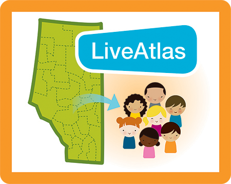
Click on the above image to go directly to the interactive maps,
or continue reading for more information on how to use the LiveAtlas.
Please note: you can also access PDF reports of community results.
What kind of maps will I find?
You will find 10 interactive maps that have been grouped into three categories.
Boundary maps
- These show various administrative boundaries in Alberta and will help you to orient yourself.
- Community and subcommunity boundaries were set by early childhood development (ECD) coalitions in Alberta. Data results are provided at the community and subcommunity levels.
- Other administrative boundaries include school authority, health zone, municipality, provincial riding, regional Family and Community Support Services (FCSS) and regional Child and Family Services (CFS) boundaries.
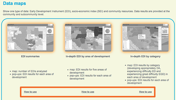
Data maps
- These show one type of data: Early Development Instrument (EDI) results, the socio-economic index (SEI) or community resources.
- The data is analyzed at the community and subcommunity levels. There is data for about 100 communities and 300 subcommunities in Alberta.
Multi-data maps
- These show two types of data at the same time: EDI and SEI data, EDI data and information on community resources, and information on community resources and SEI data.
- These maps will help you to explore connections and relationships between the different data sets.
How do I navigate and use the maps?
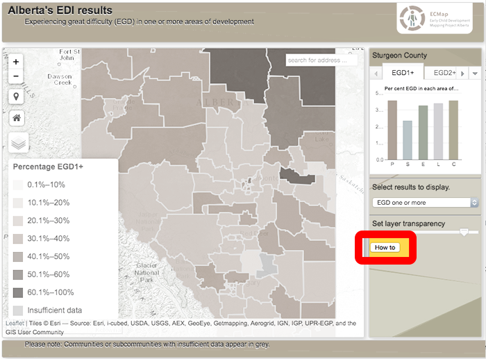
Use the features on the screen, your mouse and scroll wheel and the arrow and command keys on your keyboard to move around on the map, change the display of the map, and access the data and the geographic area that you are interested in. You can also use multi-touch features on computers and other devices that display these.
For more complete instructions go to the How to use link that is displayed under each map on the landing page.
Or click on the How to button to the right of each map.
Or download the LiveAtlas User Guide, which contains all the information.
To enter the LiveAltas, click here.